
Oct 26–312026 Halloween Special OffersExclusive offers on selected products.
FJD TrionFIELD
Menu

Underground utility documentation

Record
underground utilities.
Keep the evidence.

  • Visible utility records
  • Traceable locations
  • Documented handover
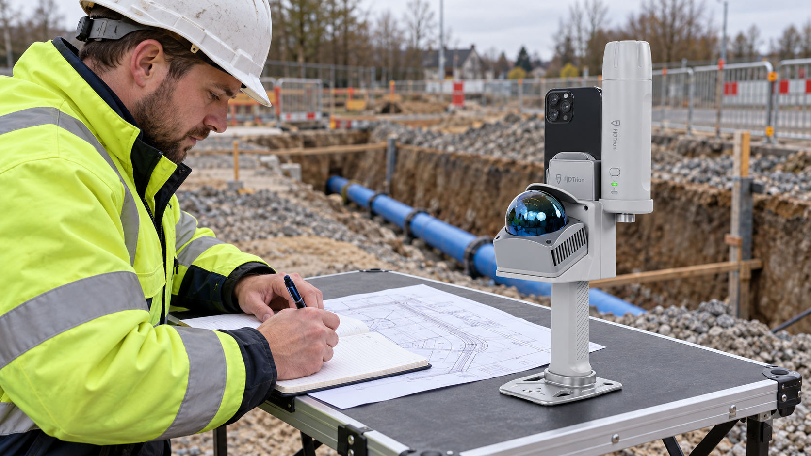
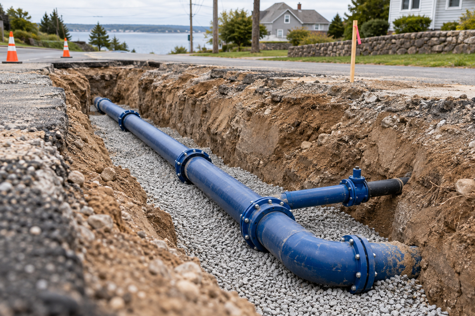
Exposed underground utilities ready for documentation before backfill

Time figures are illustrative same-section estimates, not measured or additive savings. Access, coverage, processing and quality requirements affect actual results.

Workflow

From field preparation
to project handover.

Swipe to explore

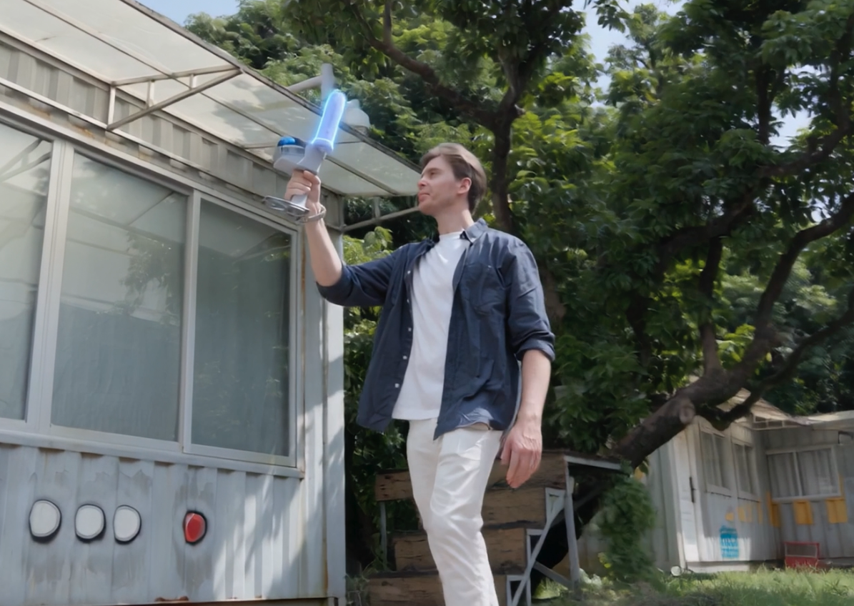
AI operation scene · Identify the section with the Go setup

Step 01

Identify
the section

Agree the scan area and delivery requirements. Set the project number, section ID and date before the backfill window.

Why it matters?

Keep records tied to the correct section.

Quality checks: Scan boundary, required outputs and section reference.

Deliverable: A traceable section brief.

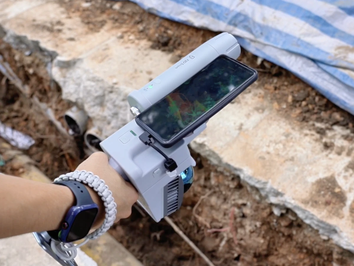
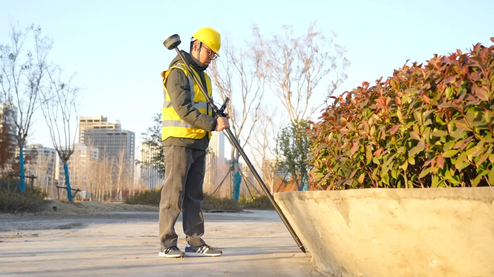
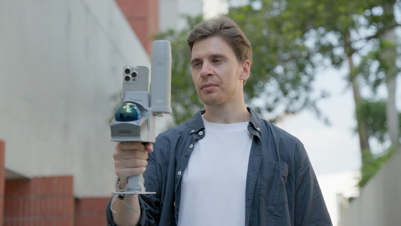
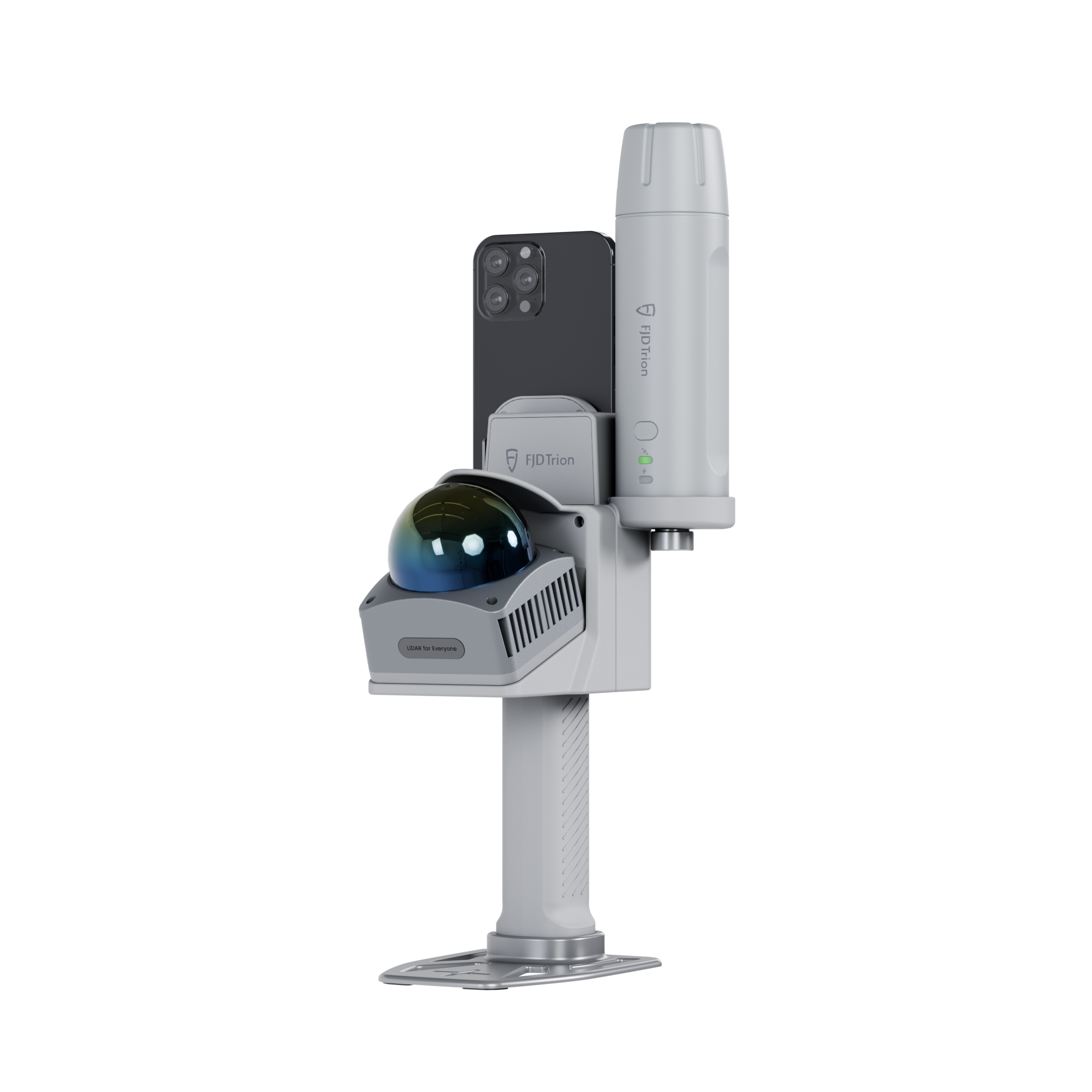
V4e Go scanning exposed underground utilities with a smartphone

Step 02

Connect V4e Go
Scan the section

Connect V4e Go to your phone, check the connection and scan the required section before backfill.

Why it matters?

Capture exposed site conditions before they are covered.

Quality checks: Phone connection, scan status and coverage of the required area.

Deliverable: Original scan data linked to the section record.

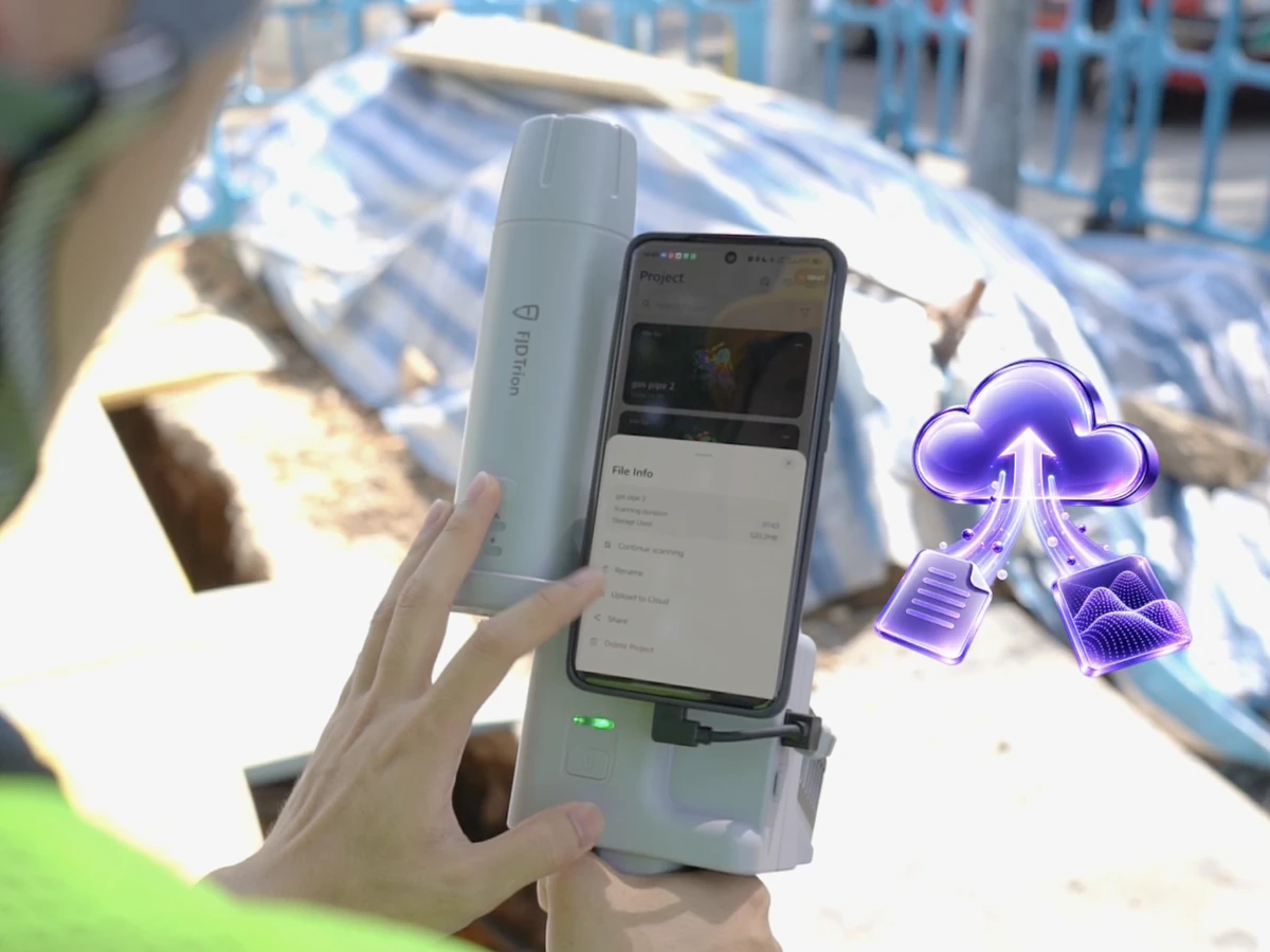
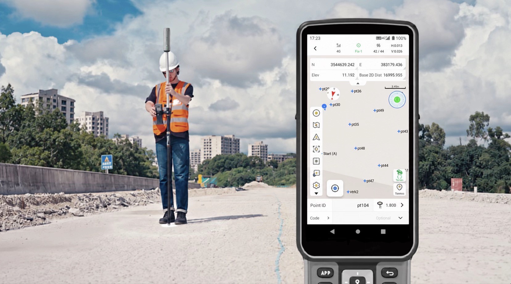
Reviewing a V4e Go scan on site and uploading it to the cloud

Step 03

Check coverage
Upload to Model Web

Check the point cloud on your phone while on site. Rescan gaps, then upload to Model Web for automatic processing.

Why it matters?

Resolve missing capture while the section is still accessible.

Quality checks: Point cloud coverage, upload completion and processing status.

Deliverable: A complete scan uploaded for automatic processing.

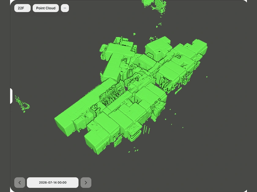
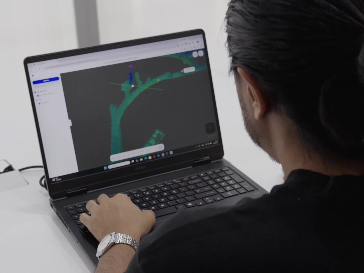
Model Web point cloud view for reviewing processed scan geometry

Step 04

Verify the result
Extract the data

Verify the processed scan in Model Web, then extract the measurements and data you need from the point cloud or mesh model.

Why it matters?

Turn the scan into usable project information.

Quality checks: Processed coverage, geometry, project reference and required data.

Deliverable: Verified measurements and data from the point cloud or mesh.

Reviewing and saving point cloud data in Model Web for handover

Step 05

Save and
hand over

Save the verified data with the original scan and section details. Share the project or export the agreed files for handover.

Why it matters?

Keep the same record available to field and office teams.

Quality checks: Saved project, agreed file formats, file readability and access permissions.

Deliverable: A saved dataset and a traceable handover package.

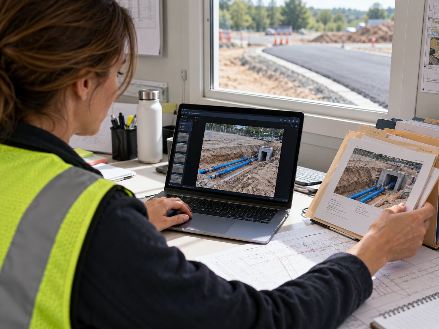
AI operation scene · Review earlier section scans for revisit comparison

Step 06

Revisit and
compare scans

On a revisit, open the section’s earlier scan, capture the visible area again and compare the two records to review changes.

Why it matters?

Use past site records to understand what has changed.

Quality checks: Same section, shared coordinate reference, capture dates and comparable visible surfaces.

Deliverable: A new scan and a comparison with the historical record.

Deliverables

FJD Trion Model Web

Allow functionality cookies to load this interactive 3D project. The service may receive connection information and use its own cookies or storage.

Cookie Policy

Trion Field – Underground Utility Documentation · FJD Trion Model Web

Explore the point cloud.
Inspect the mesh.

  • Project, date, section ID and original field records
  • Spatial outputs actually supported by the selected setup
  • Coordinate reference information, quality checks, data gaps and verified utility attributes

Open Data in the viewer and select Point Cloud or Mesh to switch views. Drag to rotate and scroll to zoom.

Open full viewer →
ROI calculator

What could your team save?

Estimate labour savings, payback and five-year returns for your project.

Calculate your ROI

Application requirements

Is this the right fit for your site?

Which site conditions are suitable?

The required utility assets must be exposed and visible from a safe access position. Water, mud, occlusion and inaccessible areas must be recorded as limitations.

Can the scanner identify pipe size, material or buried routes?

Do not assume automatic identification. Confirm diameter and material from labels, drawings or manual inspection. Depth requires a surface or design elevation, a shared datum and measurement evidence. Unseen sections are not reconstructed as verified facts.

What information is needed for a demonstration?

Site photos, visible features, section length, backfill window, deliverable requirements, existing equipment and region.

How can I review a sample dataset?

The scene image in this preview is AI generated. Request a real same-section capture, raw data, actual software output, independent checks and itemised setup before judging performance.

Specify the setup for your project.

Choose your equipment, or talk through your project with our team.