
Oct 26–312026 Halloween Special OffersExclusive offers on selected products.
FJD TrionFIELD
Menu

LiDAR scanning

Walk the site.
Capture its shape.

  • Reusable site geometry
  • Coverage checked on site
  • Fewer repeat measurements
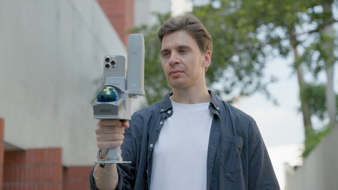
Official V4e Go outdoor capture scene

Time figures are illustrative estimates. The 1 cm relative accuracy is a post-processed, lab-tested V4e Go specification, not absolute positioning accuracy; field results vary.

Workflow

From field preparation
to project handover.

Swipe to explore

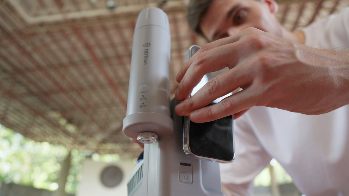
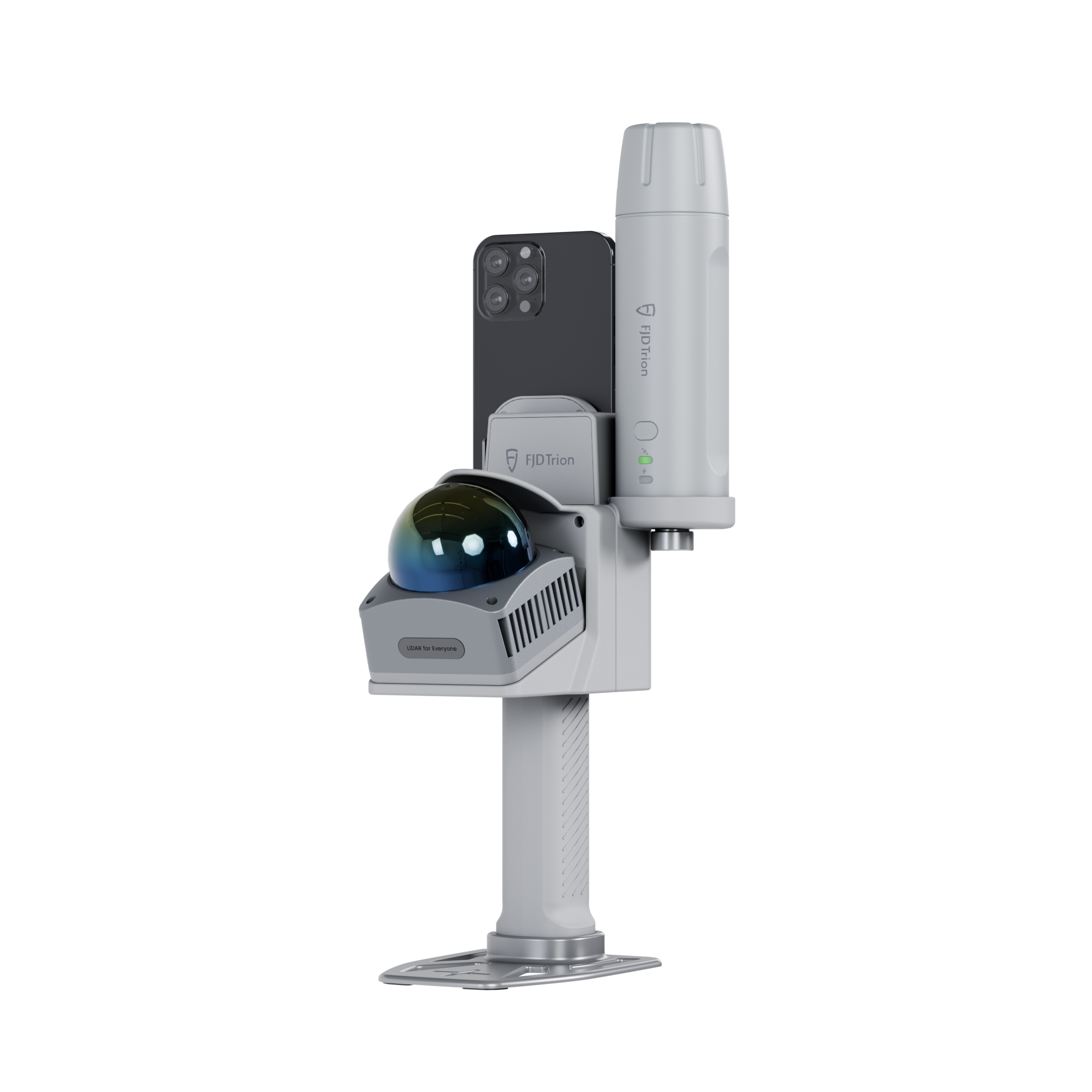
V4e Go official photo · Phone mounting

Step 01

Connect & Set Up

Connect V4e Go to your smartphone. Open FJD Trion Scan and create a new scanning project.

Why it matters?

Keep the capture linked to the correct project.

Quality checks: Smartphone connection, FJD Trion Scan and the selected project.

Deliverable: A connected V4e Go and a new scanning project.

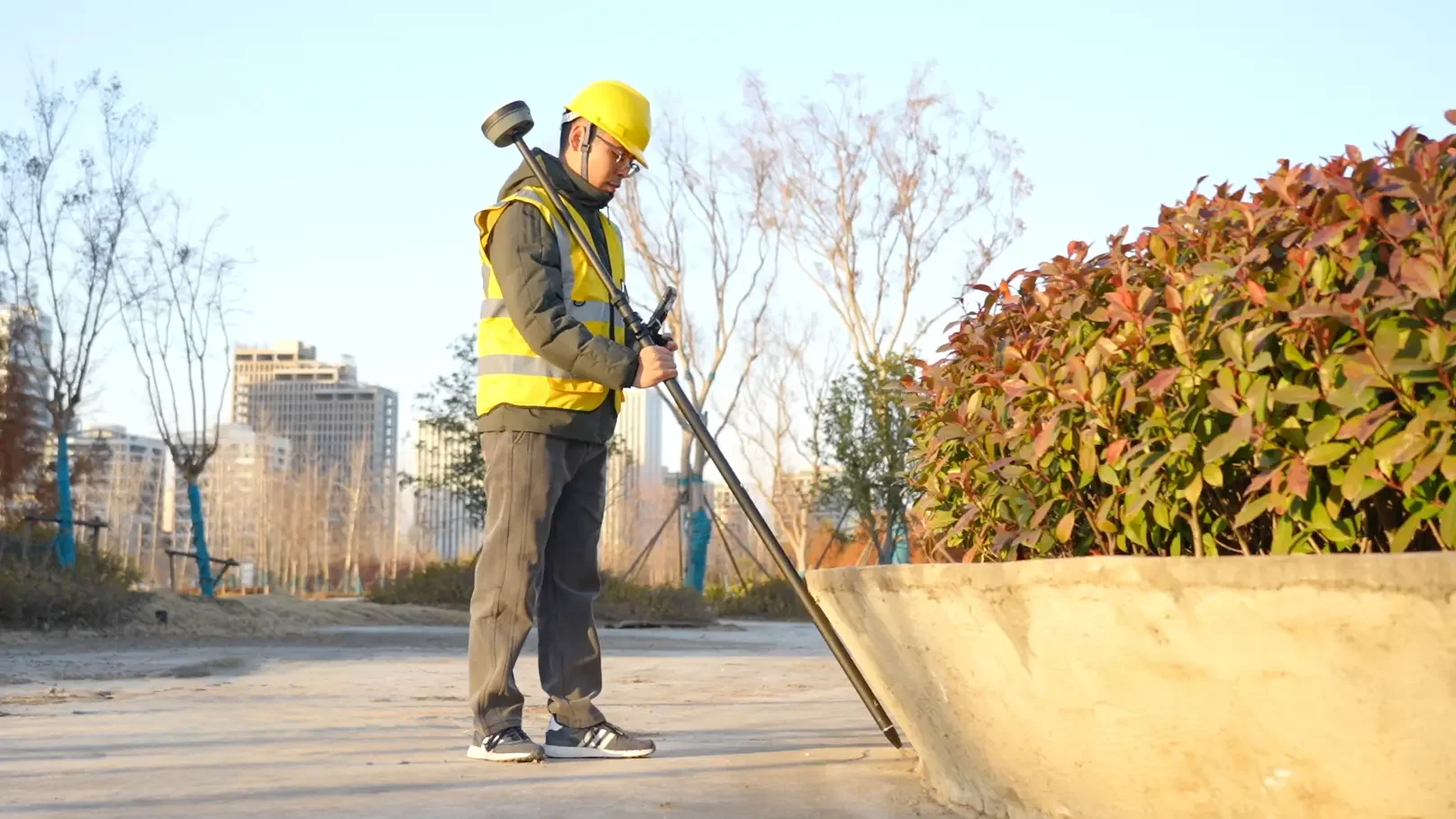
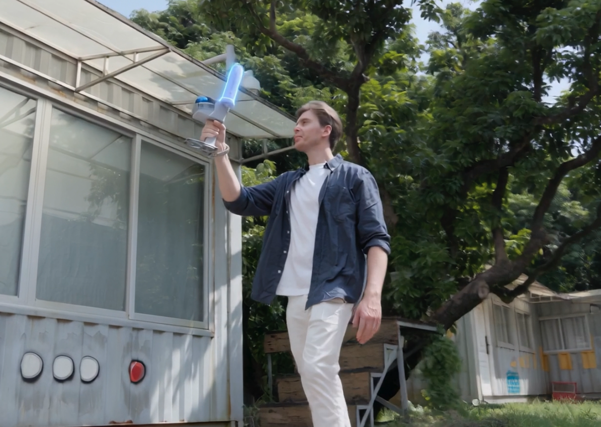
V4e Go official photo · Outdoor capture

Step 02

Start LiDAR Scanning

Walk through the site with V4e Go to capture the surrounding environment in 3D.

Why it matters?

Record site geometry as you walk.

Quality checks: Scan status, walking route and visible site coverage.

Deliverable: A 3D capture of the surrounding environment.

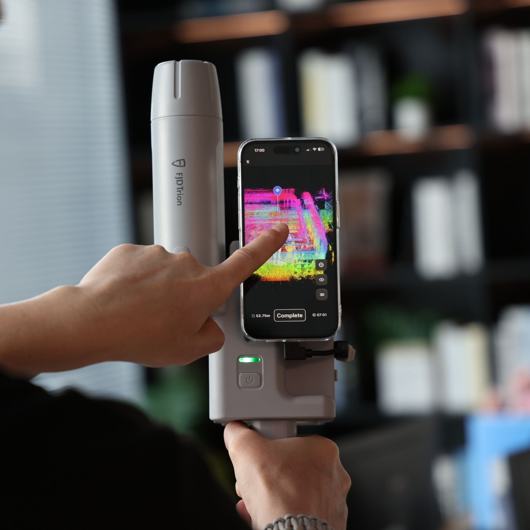
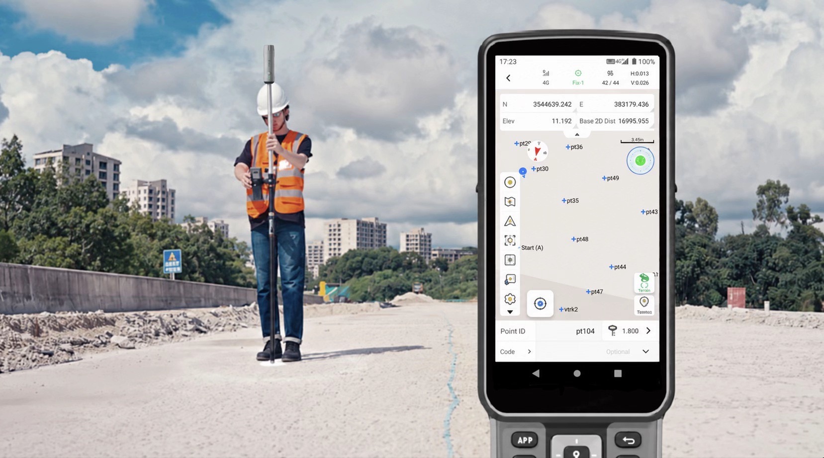
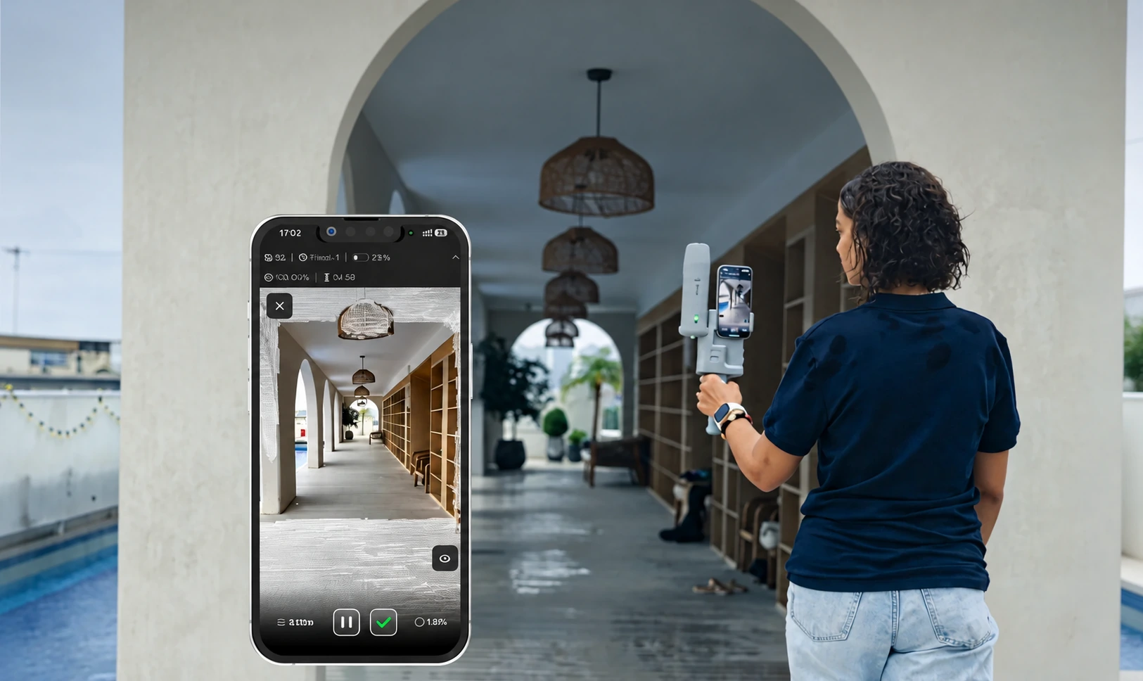
V4e Go official app photo · On-site review

Step 03

Preview & Check Coverage

Watch the point cloud build in real time on your smartphone. Check for missing areas and capture additional details before leaving.

Why it matters?

Resolve missing data while the site is still accessible.

Quality checks: Live point cloud, missing areas and additional capture.

Deliverable: A reviewed scan with coverage gaps addressed on site.

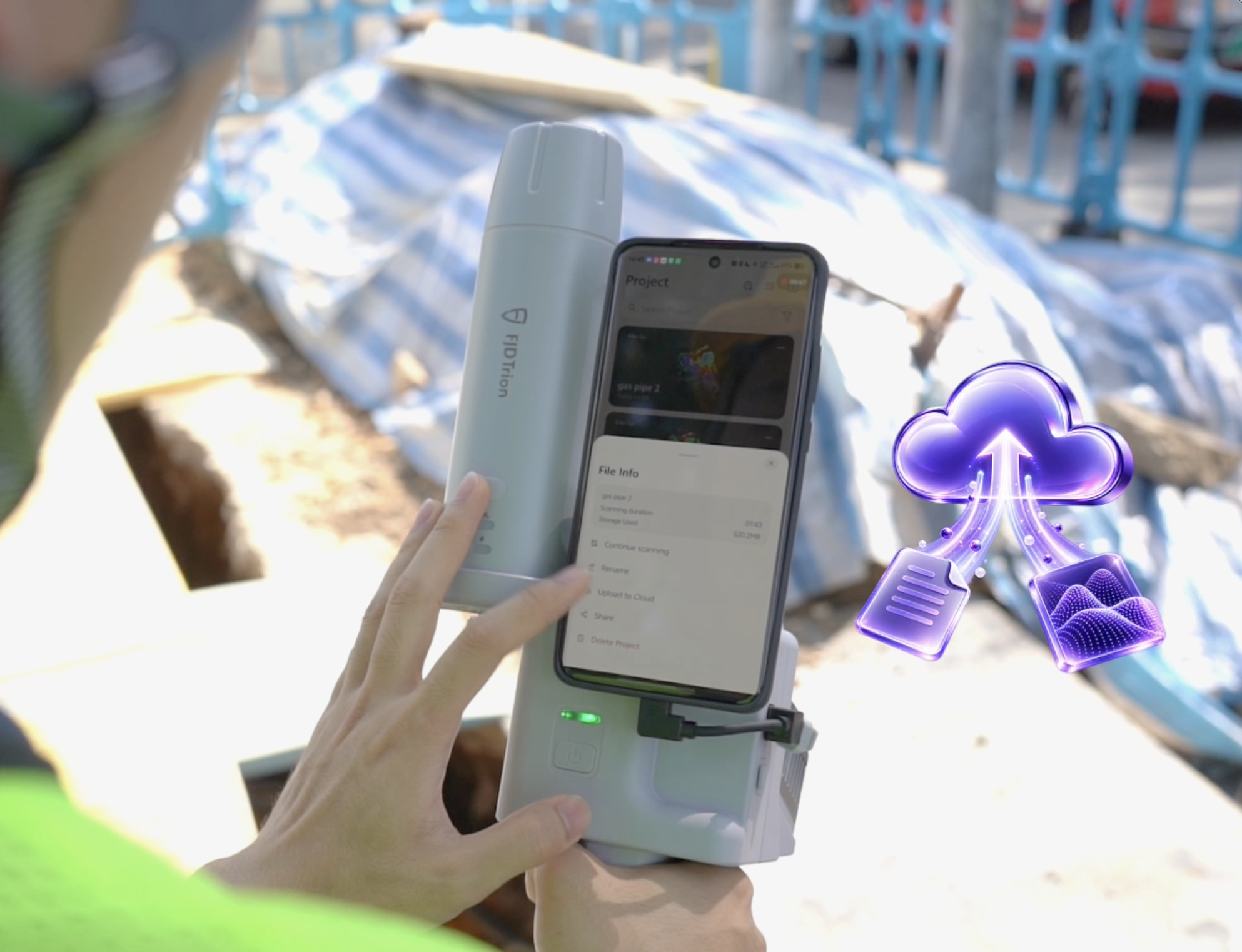
Uploading a V4e Go scan from the phone to Model Web

Step 04

Upload to Model Web

Export the scan project and upload it to FJD Trion Model Web for cloud-based point cloud processing.

Why it matters?

Make the scan available for cloud processing.

Quality checks: Exported project, upload completion and processing status.

Deliverable: A scan project uploaded to FJD Trion Model Web.

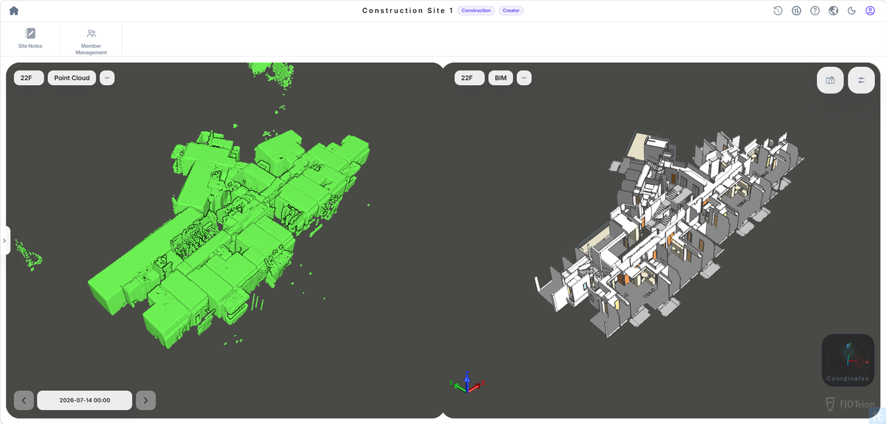
Model Web review reference showing the white building model

Step 05

Process & Export Results

Process and review your 3D data in Model Web. View, measure, and export the results for further project workflows.

Why it matters?

Prepare the capture for subsequent project workflows.

Quality checks: Processed geometry, measurements, export format and file readability.

Deliverable: Reviewed 3D data, measurements and exported results.

Deliverables

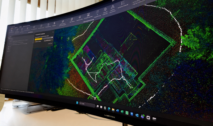
Reviewing a building point cloud on a desktop monitor

A range of 3D models
to choose from.

  • Detailed point clouds for viewing, measurement and site documentation
  • Mesh models for surface visualisation and project presentations
  • BIM and CAD models for design coordination and as-built documentation

Deliver point clouds, reconstruct meshes and develop BIM or CAD models in compatible software. Choose the 3D outputs that fit your project’s documentation, visualisation and design needs.

Request a sample dataset
ROI calculator

What could your team save?

Estimate labour savings, payback and five-year returns for your project.

Calculate your ROI

Application requirements

Is this the right fit for your site?

Is GNSS positioning available with V4e Go?

No. The current official store lists variants with and without a GNSS receiver. Check the selected variant and the full setup.

Can I document buried pipes?

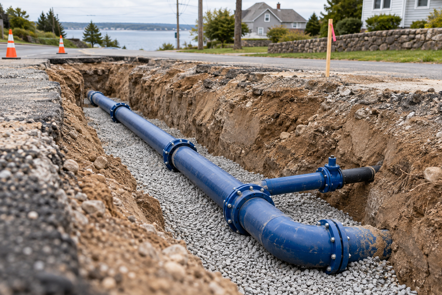
Capture visible, exposed utilities before backfill. This workflow does not detect pipes through soil or inspect pipe interiors.

How do I choose the software?

Use the current supported capture and processing workflow for your Go configuration and required export. Confirm licences, credits and storage costs.

Specify the setup for your project.

Choose your equipment, or talk through your project with our team.