
Oct 26–312026 Halloween Special OffersExclusive offers on selected products.
FJD TrionFIELD
Menu

Smartphone scanning

A compact kit.
A visible site record.

  • Phone-based capture
  • Visible site context
  • Checked deliverables
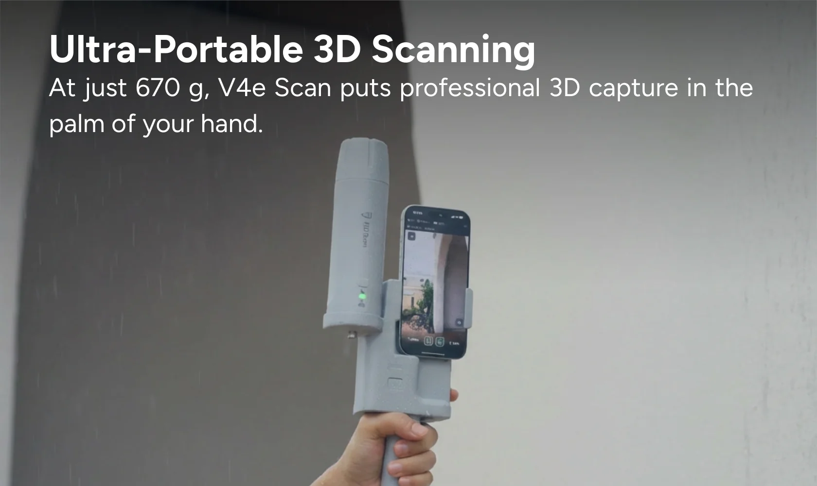
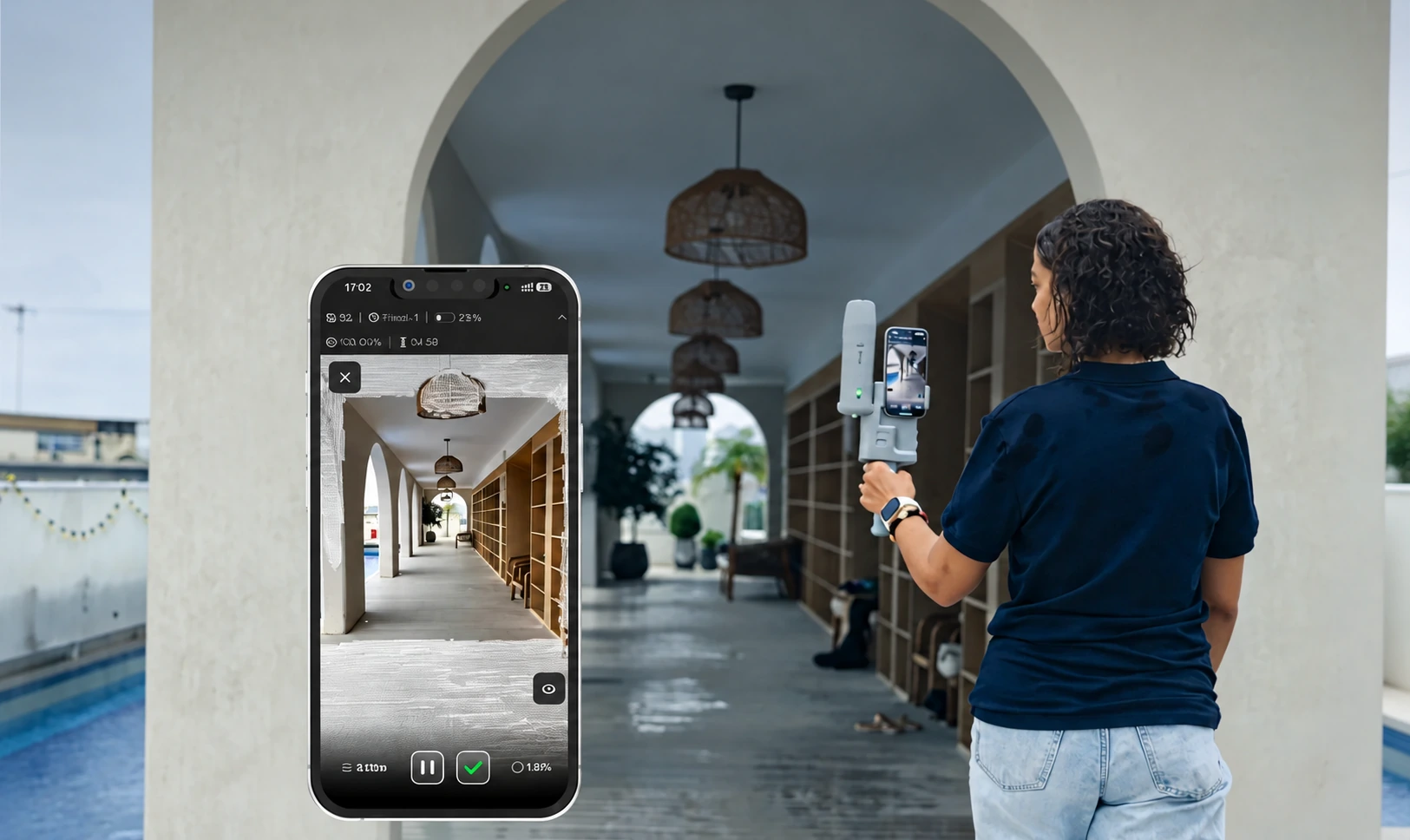
V4e Scan smartphone capture in an arched corridor with a live 3D preview

Time figures are illustrative same-site estimates, not measured or additive savings. Device, coverage, processing and quality requirements affect actual results.

Workflow

From field preparation
to project handover.

Swipe to explore

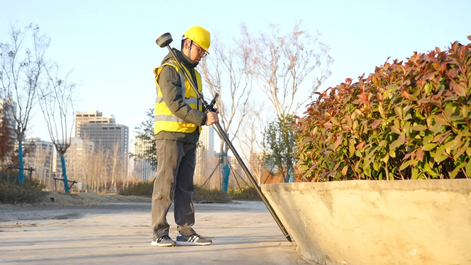
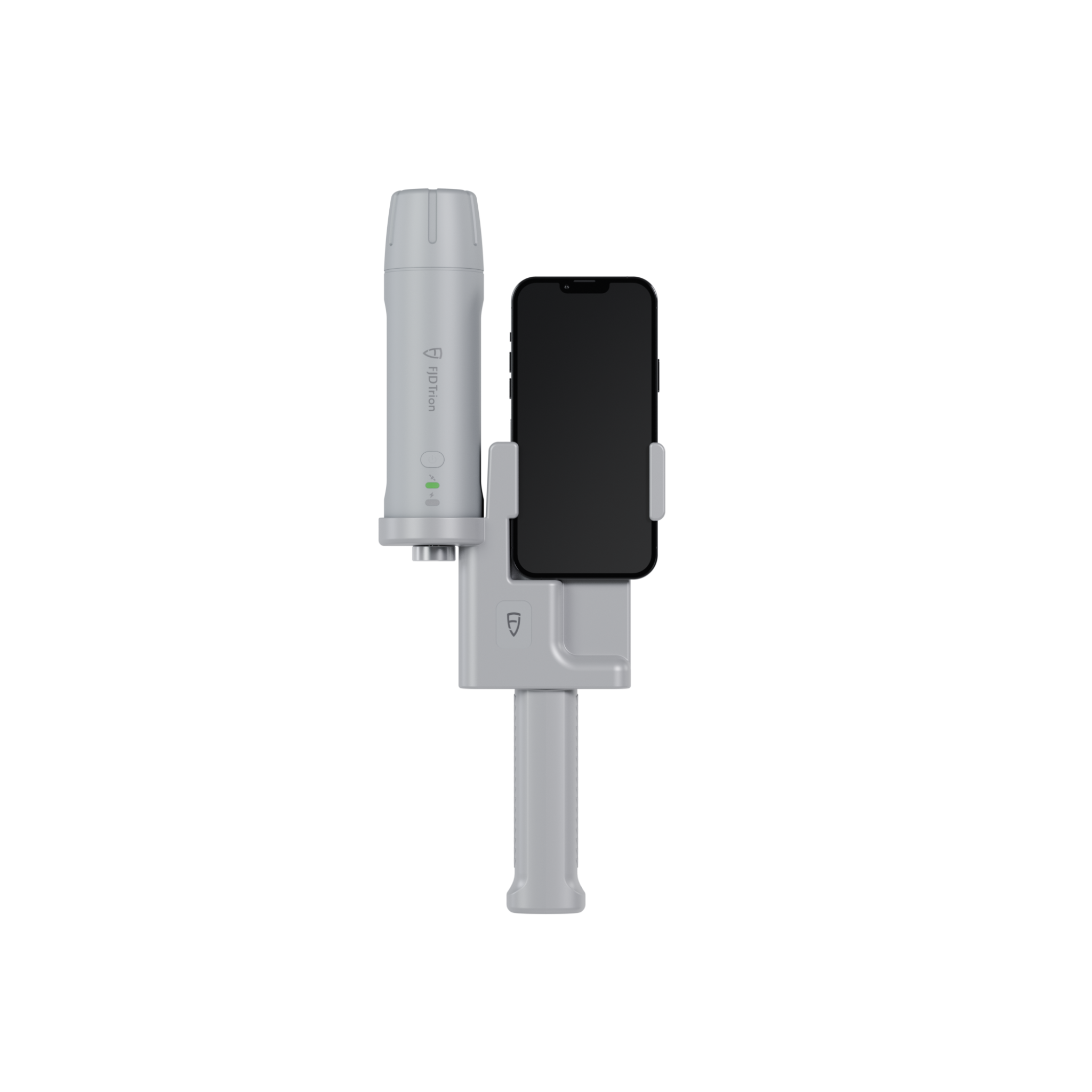
V4e Scan official kit reference · iPhone and receiver setup

Step 01

Connect & Set Up

Mount your iPhone onto the V4e Scan kit. Connect the GNSS receiver and configure GNSS positioning.

Why it matters?

Prepare the phone and positioning system for capture.

Quality checks: iPhone mounting, GNSS connection and GNSS settings.

Deliverable: A mounted and connected V4e Scan setup.

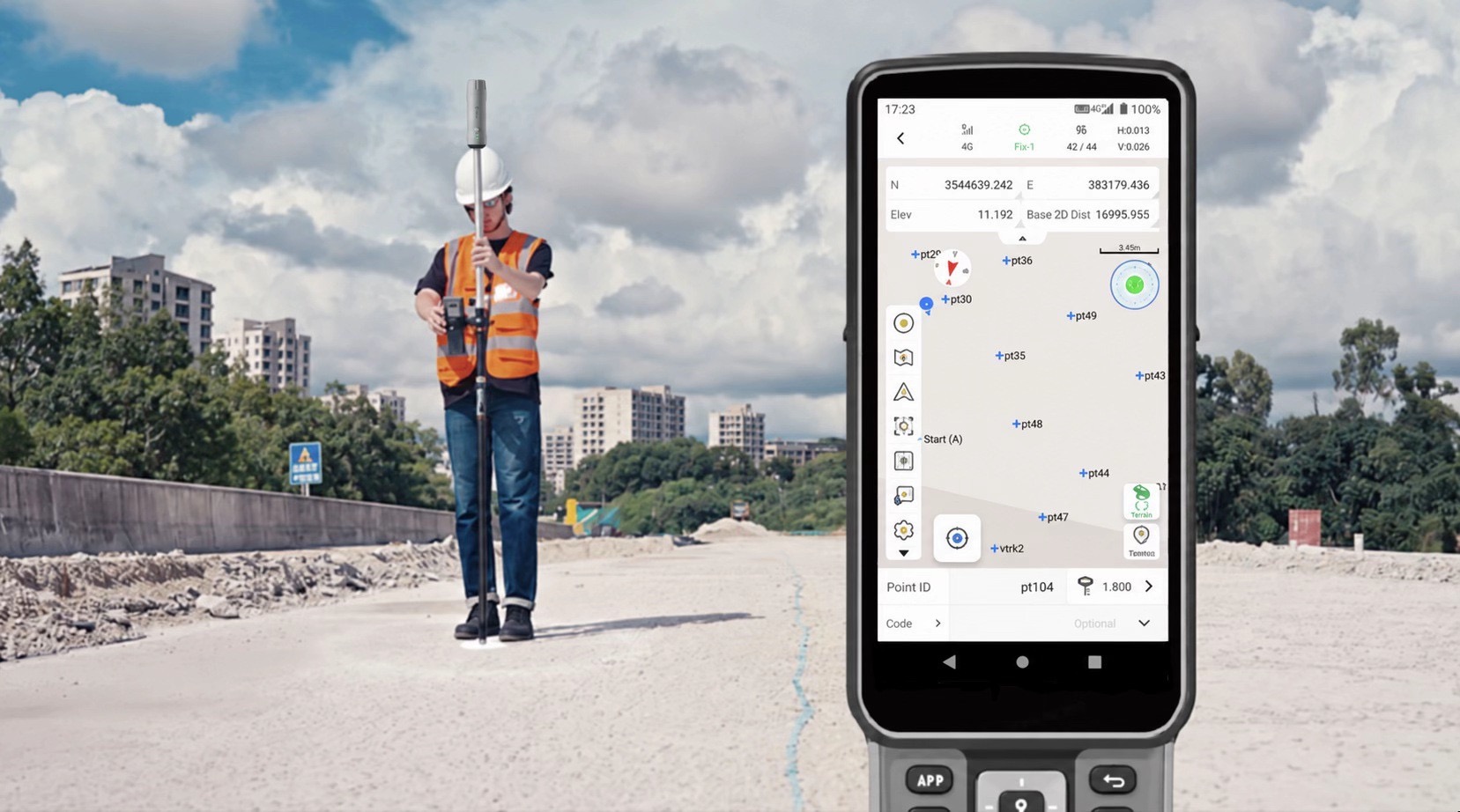
V4e Scan official photo · Phone-based capture

Step 02

Start Smartphone Scanning

Open FJD Trion Scan and start capturing the site in 3D using your iPhone's built-in LiDAR.

Why it matters?

Confirm capture has started before walking the site.

Quality checks: FJD Trion Scan capture status and the initial 3D preview.

Deliverable: An active smartphone LiDAR scan.

V4e Scan capturing corridor surfaces with a live smartphone 3D preview

Step 03

Walk & Capture

Walk around the site to capture surfaces, structures, and surrounding details. Preview your scan in real time on your iPhone.

Why it matters?

Keep track of coverage as you move.

Quality checks: Live preview, surface coverage and missing details.

Deliverable: A 3D scan of the required surfaces and site features.

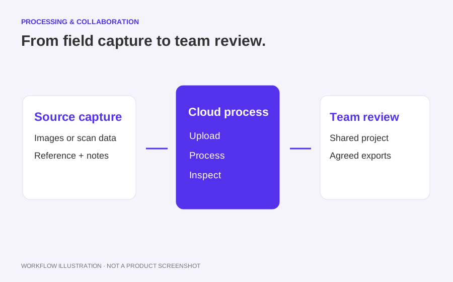
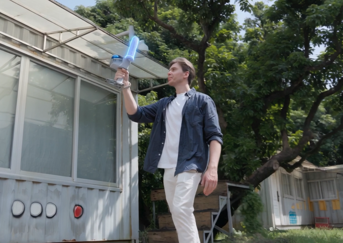
Workflow illustration · Upload and cloud processing

Step 04

Review & Upload the 3D Scan

Review your scan on your iPhone. Upload it to FJD Trion Model Web for cloud-based processing.

Why it matters?

Make the field capture available for cloud processing.

Quality checks: Scan completeness, upload status and processing progress.

Deliverable: A reviewed scan uploaded to FJD Trion Model Web.

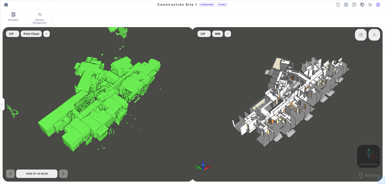
AI processing illustration · Inspect the processed result

Step 05

View & Export Results

View the processed 3D results in Model Web. Export the data for site documentation, mapping, and further modelling.

Why it matters?

Prepare the scan for documentation, mapping and modelling.

Quality checks: Processed coverage, export format and file readability.

Deliverable: Processed 3D results and exported project data.

Deliverables

AI office review scene · Verified project sample pending

Deliverables for your project team.

  • Original capture and identifiable site sections
  • Files actually produced by the supported Scan workflow
  • Coverage, coordinate reference and independent-check notes

V4e Scan uses an iPhone LiDAR and GNSS setup on the official store page. This configuration uses LiDAR scanning rather than photogrammetric reconstruction. Confirm the exact supported smartphone and app, processing, coordinates and outputs for the purchased kit.

Request a sample dataset
ROI calculator

What could your team save?

Estimate labour savings, payback and five-year returns for your project.

Calculate your ROI

Application requirements

Is this the right fit for your site?

Is V4e Scan a current product?

V4e Scan has an official product page. Check the selected region, current availability and complete kit contents there.

Is this the same as phone photogrammetry?

No. The official V4e Scan page describes iPhone LiDAR with GNSS. Photo-based reconstruction is a separate workflow and is not assumed here.

What should I check before ordering?

Supported iPhone model, LiDAR availability, receiver and mounting components, app version, correction requirements, output formats and processing costs.

Specify the setup for your project.

Choose your equipment, or talk through your project with our team.