
Oct 26–312026 Halloween Special OffersExclusive offers on selected products.
FJD TrionFIELD
Menu

Georeferenced LiDAR

Site geometry.
In the right place.

  • Shared project coordinates
  • Browser-based collaboration
  • Reusable project data
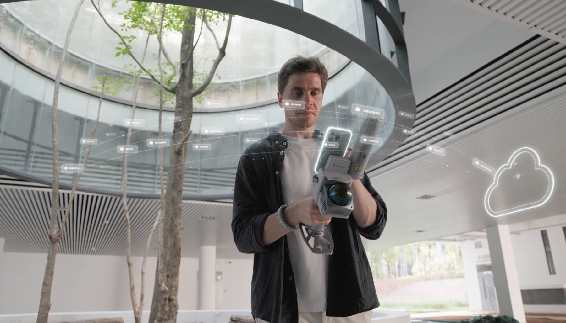
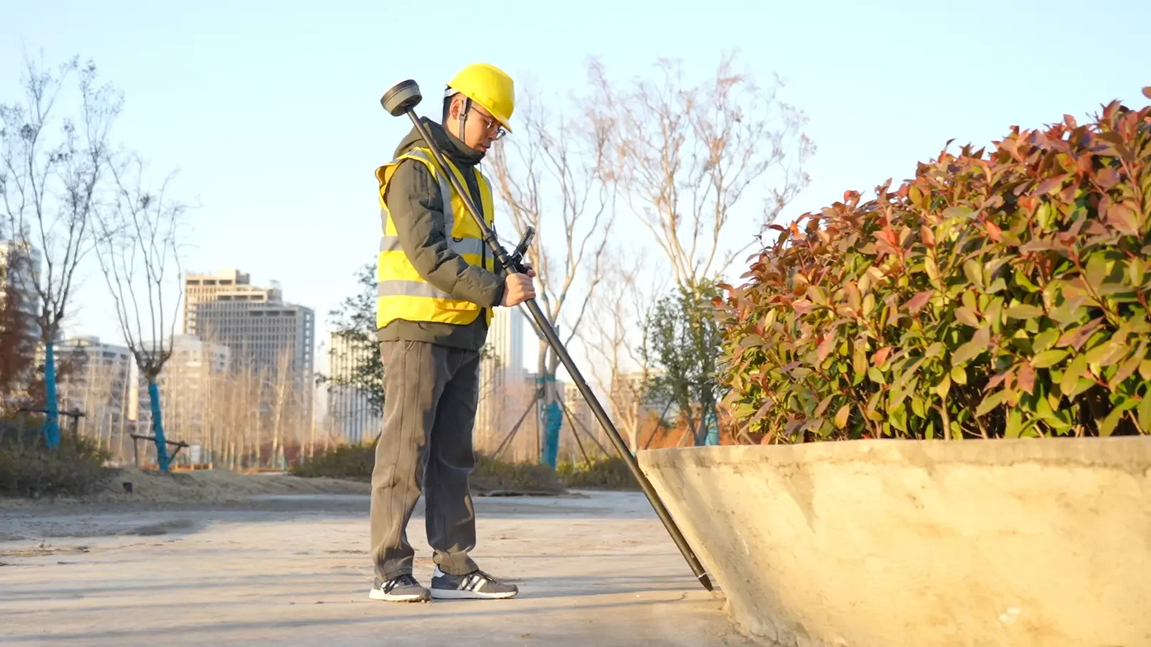
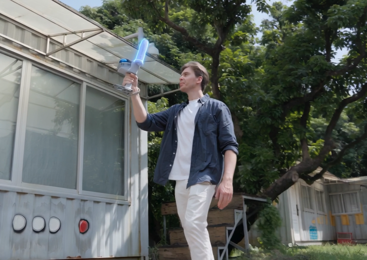
Georeferenced LiDAR capture with V4e Combo at an outdoor site

Up to 80% less site time applies to architecture/landscape capture. Preparation savings are illustrative; 3 cm is post-processed accuracy. Site conditions affect results.

Workflow

From field preparation
to project handover.

Swipe to explore

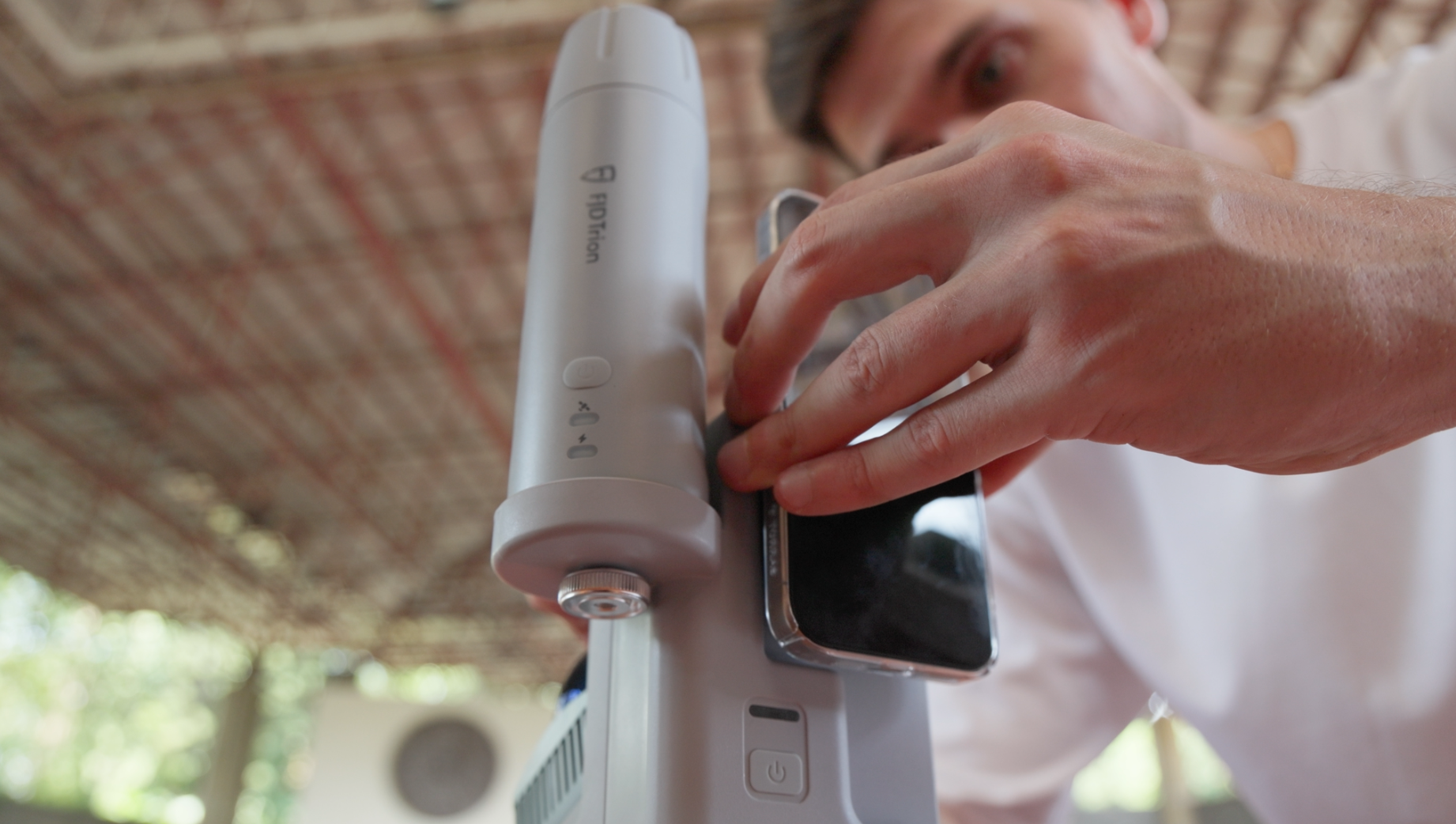
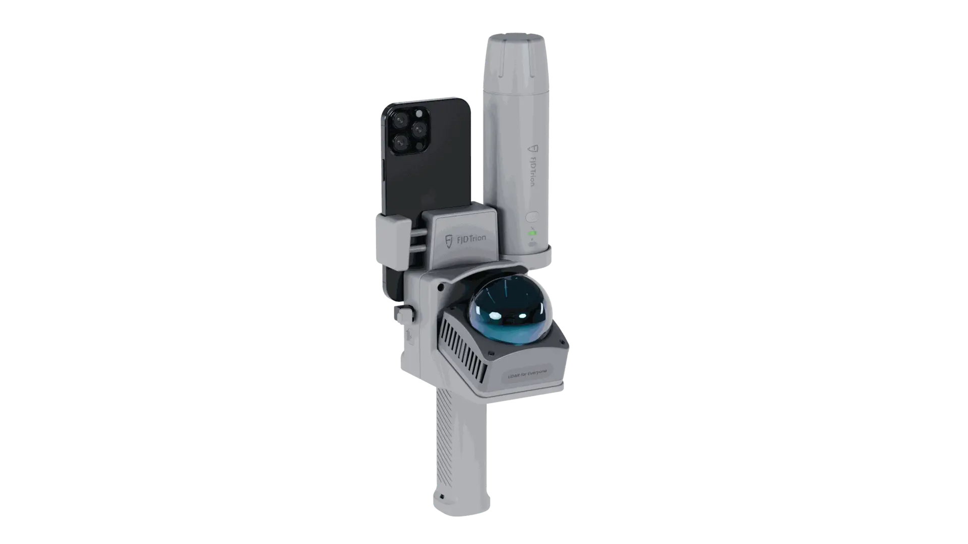
Setting up the GNSS receiver, LiDAR scanner and smartphone

Step 01

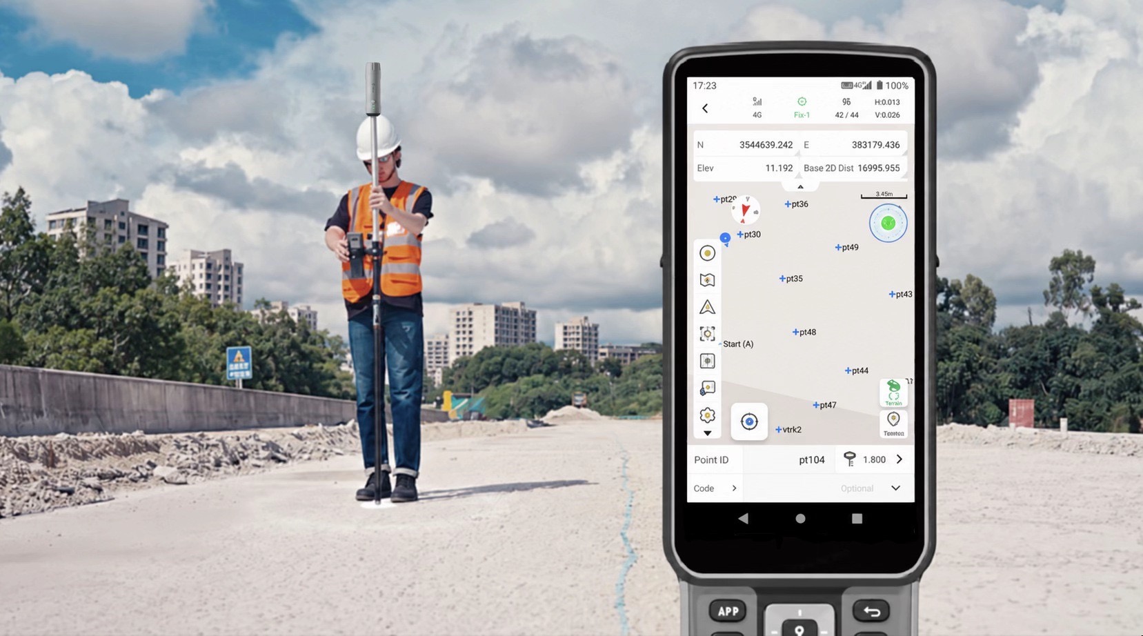
Set Up GNSS & LiDAR

Connect V4e LiDAR, GNSS receiver, and smartphone. Configure GNSS positioning to enable georeferenced scanning.

Why it matters?

Establish positioning before capture starts.

Quality checks: LiDAR, GNSS and smartphone connections, GNSS settings and project reference.

Deliverable: A connected setup configured for georeferenced scanning.

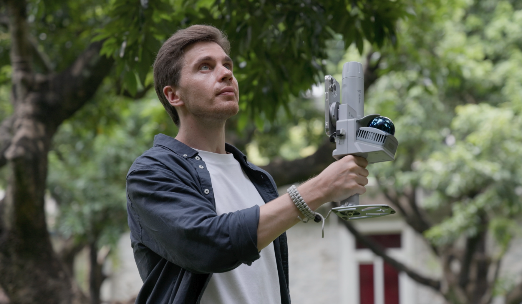
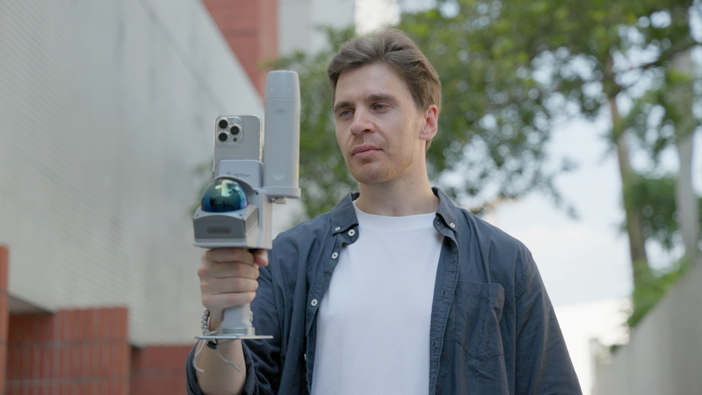
Capturing outdoor LiDAR data with the V4e Combo

Step 02

Scan with GNSS Positioning

Walk through the site to capture 3D LiDAR data while recording GNSS positioning information for georeferencing.

Why it matters?

Retain the positioning data needed for georeferencing.

Quality checks: LiDAR capture, GNSS recording and route coverage.

Deliverable: 3D scan data with accompanying GNSS positioning information.

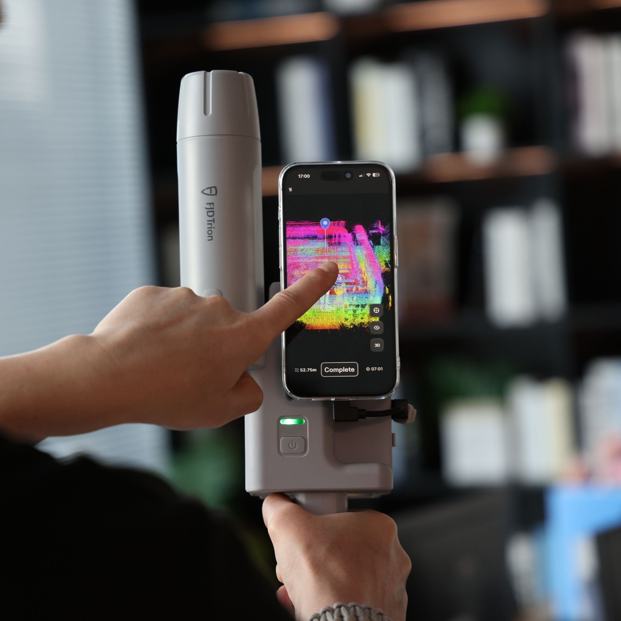
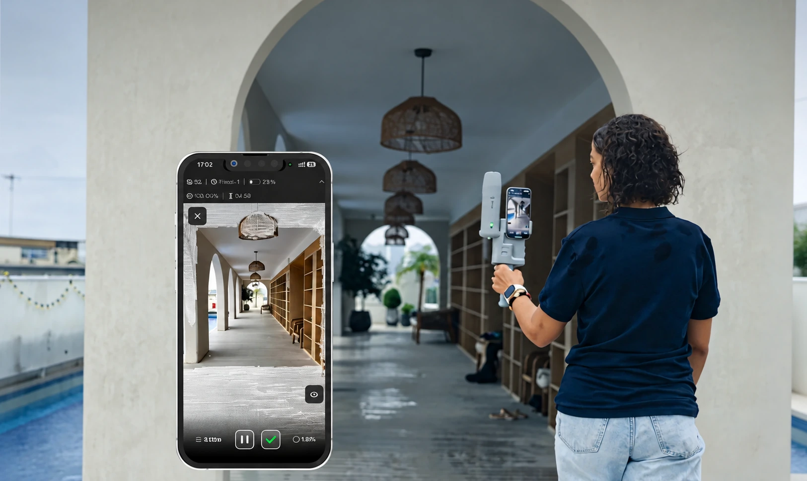
V4e Go official app photo · Point cloud preview reference

Step 03

Preview & Check Coverage

Monitor the point cloud in real time on your smartphone. Check scan coverage and GNSS positioning status before finishing.

Why it matters?

Resolve capture gaps before finishing the survey.

Quality checks: Live point cloud coverage, missing areas and GNSS positioning status.

Deliverable: A reviewed scan with coverage and positioning checked on site.

Uploading a captured scan for cloud processing

Step 04

Upload for Georeferencing

Review your scan and upload the LiDAR and GNSS data to FJD Trion Model Web for cloud processing and GNSS registration.

Why it matters?

Keep scan geometry and positioning information together.

Quality checks: LiDAR and GNSS data completeness, upload status and registration settings.

Deliverable: A dataset uploaded for cloud processing and GNSS registration.

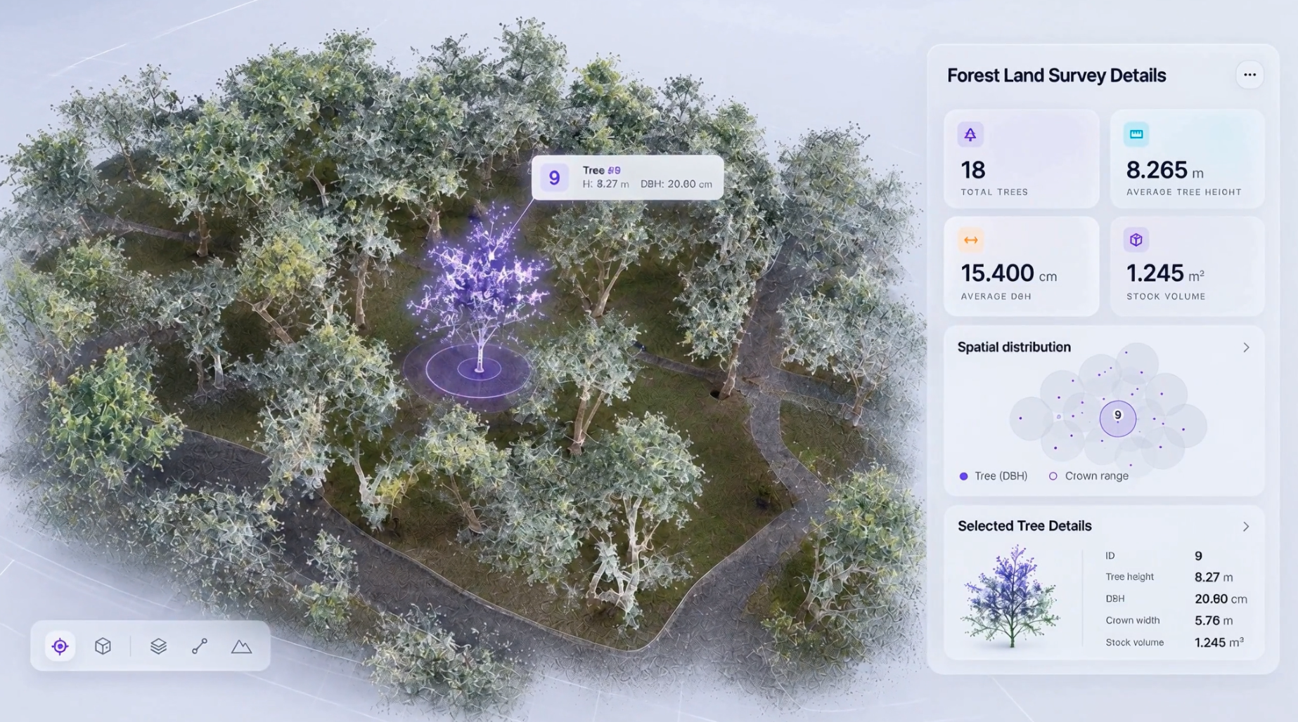
Reviewing a forest point cloud and tree measurements

Step 05

Export Georeferenced 3D Data

View the georeferenced point cloud with real-world coordinates. Export the results for GIS, CAD, BIM, and mapping workflows.

Why it matters?

Make the 3D record usable in GIS, CAD, BIM and mapping workflows.

Quality checks: Coordinate reference, point cloud coverage, independent checks and export compatibility.

Deliverable: A georeferenced point cloud and exported project data.

Deliverables

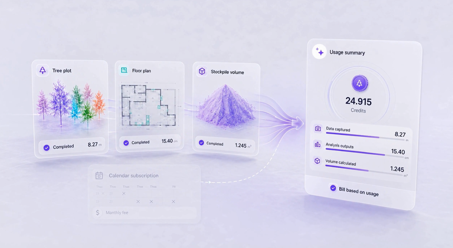
Tree plot, floor plan and stockpile volume outputs with a usage summary

Deliverables for your project team.

  • Original scan data and control information
  • A checked, georeferenced point cloud
  • Shared project views and agreed export files

Check the processed, registered result before accepting it. Relative scan accuracy, point-measurement accuracy and global coordinate accuracy are different quantities; coordinate alignment alone does not validate the whole model.

Request a sample dataset
ROI calculator

What could your team save?

Estimate labour savings, payback and five-year returns for your project.

Calculate your ROI

Application requirements

Is this the right fit for your site?

How is georeferencing accuracy verified?

No. Keep separate evidence for scan geometry, point measurements and project coordinates. Independent checkpoints are needed for the intended use.

What is included in Combo?

Confirm the current itemised equipment list, receiver/scanner models, mounts, compatible phone and included software. Do not infer the bundle from another V4e model’s images.

Can Go also have GNSS?

Yes, the Go store lists GNSS and no-GNSS variants. Choose between current verified configurations by task, existing equipment and required outputs, not by a simple product ranking.

Specify the setup for your project.

Choose your equipment, or talk through your project with our team.