

Oct 26–312026 Halloween Special OffersExclusive offers on selected products.
FJD TrionFIELD
Menu

Topographic survey

Understand the ground.
Plan the next step.

  • Consistent site records
  • Earlier gap detection
  • Smoother CAD / GIS handover
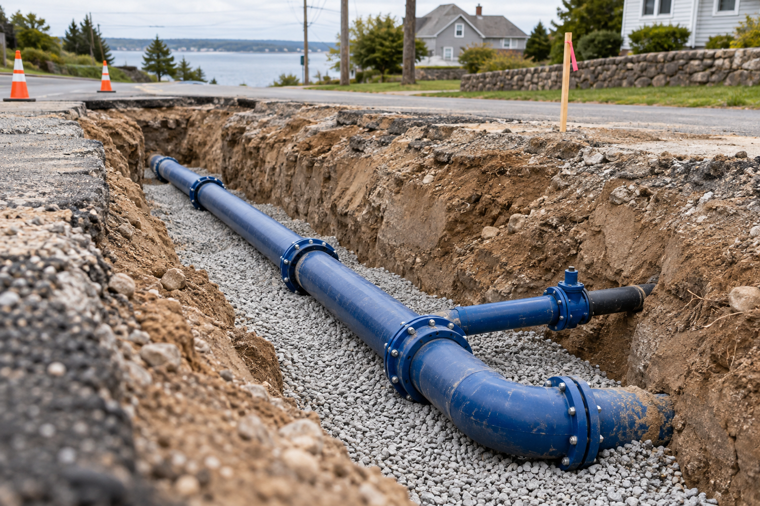
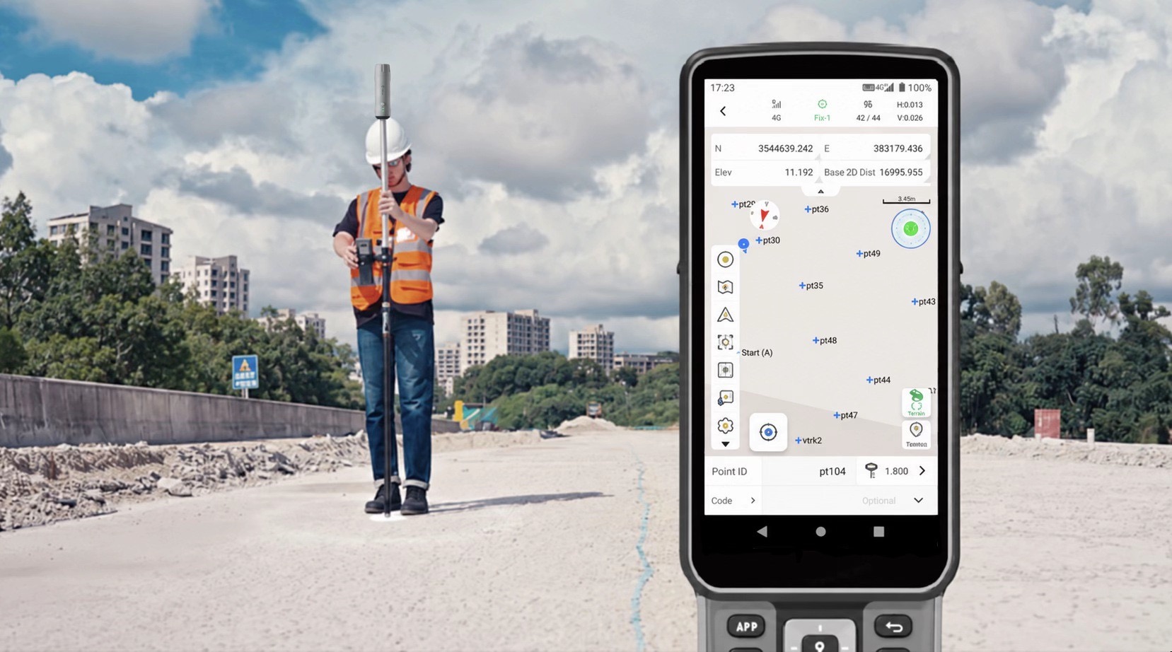
FJD Trion GNSS point collection at a road construction site

Time saving is derived from 130% baseline productivity, not a separate test. Laser accuracy applies at 3 m and ≤30° tilt; actual field results vary.

Workflow

Survey the terrain.
Bring field data into your plans.

Swipe to explore

Trion Survey official reference · Field project setup

Step 01

Set Up the Project

Create a project in FJD Trion Survey. Set the coordinate system, connect the V4e Pro, and configure GNSS positioning.

Why it matters?

Keep observations in the correct project reference.

Quality checks: Project coordinate system, receiver connection and GNSS settings.

Deliverable: A configured project connected to V4e Pro.

FJD Trion official field photo · Point collection

Step 02

Capture Terrain Points

Move across the site to measure ground elevations, terrain changes, and key topographic features using GNSS positioning.

Why it matters?

Capture the points needed to describe the ground.

Quality checks: Point identifiers, elevations, terrain changes and feature coverage.

Deliverable: GNSS observations of terrain and key site features.

Using V4e Pro laser measurement to survey hard-to-reach points from a bridge

Step 03

Measure Hard-to-Reach Points

Use IMU tilt compensation and laser measurement to capture points that are difficult to access directly.

Why it matters?

Extend survey coverage around access constraints.

Quality checks: IMU status, laser target and measurement quality.

Deliverable: Recorded points from locations that are difficult to access.

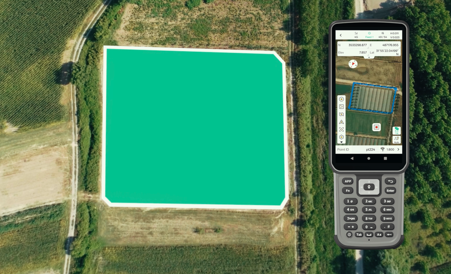
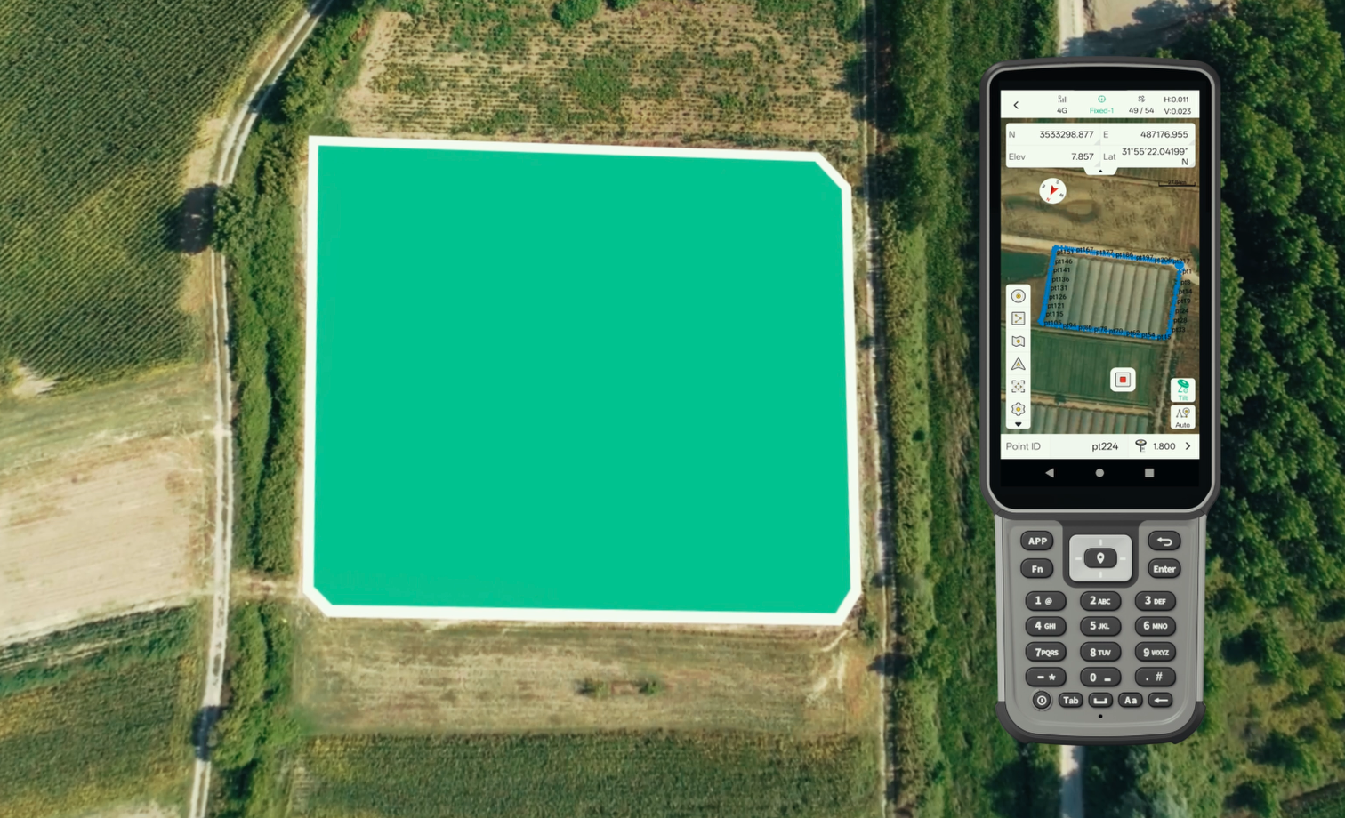
Reviewing surveyed points and area coverage in Trion Survey

Step 04

Review Field Data

Check collected coordinates and elevations in FJD Trion Survey. Organise survey points and verify data coverage before leaving the site.

Why it matters?

Resolve coverage gaps before leaving the site.

Quality checks: Coordinates, elevations, point organisation and missing areas.

Deliverable: An organised and reviewed field dataset.

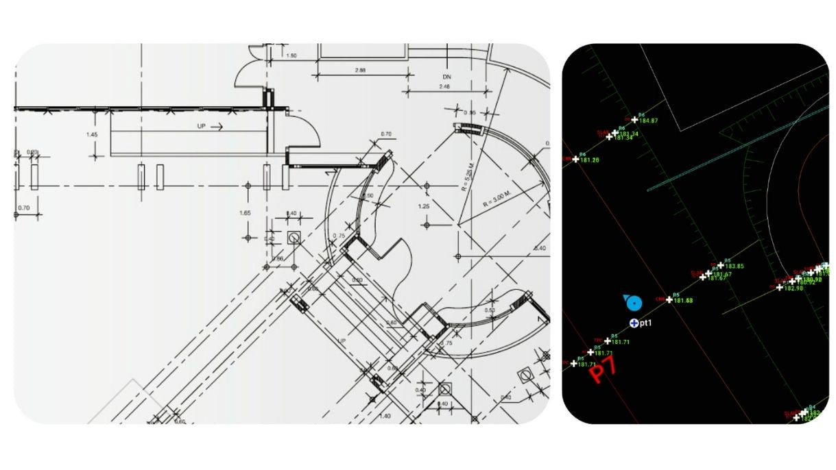
Trion Survey official reference · CAD data review

Step 05

Export for Terrain Mapping

Export survey data to CAD or mapping software for terrain modelling, contour generation, and topographic mapping.

Why it matters?

Support terrain modelling, contour generation and topographic mapping.

Quality checks: Export format, units, coordinate reference and file readability.

Deliverable: Survey data ready for CAD or mapping software.

Deliverables

Topographic survey deliverable showing the measured area and collected points in Trion Survey

Deliverables for your project team.

  • Original observations, coordinate settings and control checks
  • Coded points plus quality and exception records
  • A validated export, software/version details and editing notes

The professional workflow includes setup, corrections where needed, known-point and closing checks, and opening the final file. Report actual conditions and measured errors; do not infer accuracy from the status display.

Request a sample dataset
ROI calculator

What could your team save?

Estimate labour savings, payback and five-year returns for your project.

Calculate your ROI

Application requirements

Is this the right fit for your site?

Is this the right workflow for a terrain survey?

Choose this workflow when the job calls for measured control, terrain points and site features. For continuous 3D surfaces or complex geometry, also consider georeferenced LiDAR.

Which files can the office receive?

Trion Survey lists formats including DXF, SHP, CSV-compatible ASCII and other survey formats. Confirm the exact export and coordinate system for your CAD or GIS package.

Specify the setup for your project.

Choose your equipment, or talk through your project with our team.